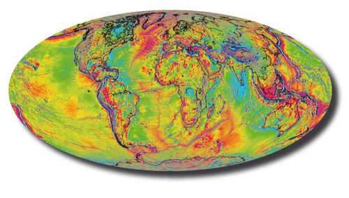
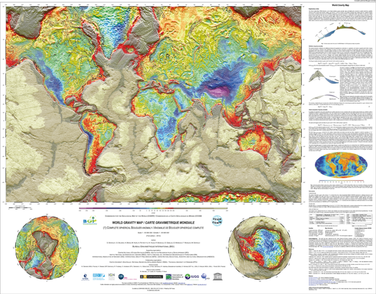
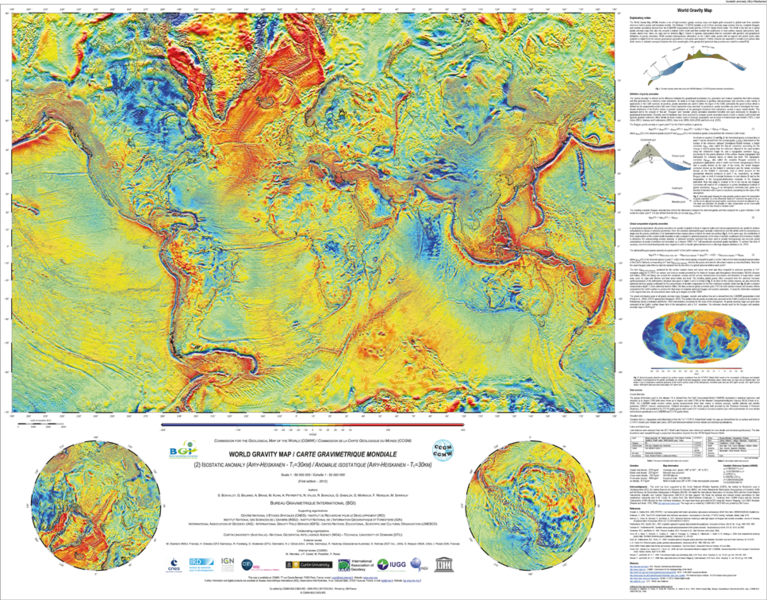
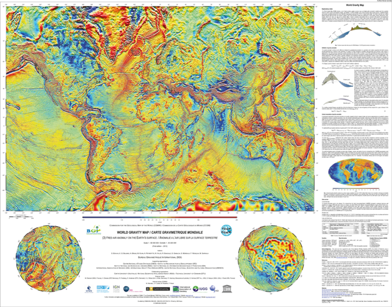
The WGM project has been launched in early 2008 in collaboration with Commission for the Geological Map of the World (CGMW) and UNESCO. It aims to the diffusion of digital global gravity anomaly maps (free air and Bouguer) for educative and research purposes. More details about CCGM : http://ccgm.free.fr/
Update (June 2012) : Publication of new global gravity anomaly maps (CCGM-BGI-CNES-IRD Eds.)
World Gravity Map (WGM) denotes a set of 3 global anomaly maps of the Earth’s gravity field realized by the Bureau Gravimétrique International (BGI), a service of the International Association of Geodesy (IAG). These new products, realized for the Commission for the Geological Map of the World (CGMW), UNESCO, International Union of Geodesy and Geophysics (IUGG) and International Union of Geological Sciences (IUGS), represent the first gravity anomaly maps computed in spherical geometry, that take into account a realistic Earth model. The gravity anomaly maps presented here (Bouguer, isostatic and surface free-air) are derived from available Earth gravity models (EGM2008, DTU10) and include high resolution terrain corrections that consider the contribution of most surface masses (atmosphere, land, oceans, inland seas, lakes, ice caps and ice shelves). New theoretical developments have been performed to achieve accurate computations at global scale using spherical harmonic approach (Balmino, G., Vales, N., Bonvalot, S. and Briais, A., 2011. Spherical harmonic modeling to ultra-high degree of Bouguer and isostatic anomalies. Journal of Geodesy. DOI 10.1007/s00190-011-0533-4).
Such gravity anomaly, which point out the density heterogeneities in the Earth’s interior (crust, mantle…), are used in a large variety of applications: physics of the Earth, structural geology, geodesy (shape of the Earth, geoid), exploration of natural resources (oil or mining prospecting), etc. Soon available in a digital form, these maps will be regularly updated and distributed for research and education purposes.
This project, led by Bureau Gravimétrique International (BGI), has benefited from the collaboration of various research institutes from different countries (France, Germany, Australia, Denmark, USA).
- Reference :
Bonvalot, S., Balmino, G., Briais, A., M. Kuhn, Peyrefitte, A., Vales, Biancale, R., Gabalda, G., Moreaux, G., Reinquin, F. Sarrailh, M. World Gravity Map, 1:50000000 map, Eds. : BGI-CGMW-CNES-IRD, Paris, 2012. - Ordering :
CGMW, 77 rue Claude Bernard, 75005 Paris, France. ccgm@club-internet.fr ; www.ccgm.org
IRD Editions, 44 Bd de Dunquerke, 13572 Marseille cedex 02, France. editions@ird.fr ; www.editions.ird.fr - Contact :
BGI, Obs. Midi-Pyrénées, 14 av. Ed. Belin, 31400 Toulouse, France. bgi@cnes.fr ; BGI website
Summary
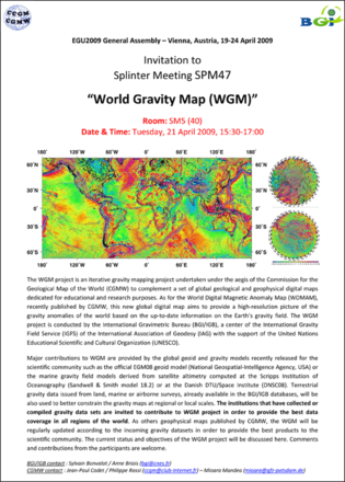
The WGM project is a gravity mapping project undertaken under the aegis of the Commission for the Geological Map of the World (CGMW) to complement a set of global geological and geophysical digital maps published and updated by CGMW, such as the World Digital Magnetic Anomaly Map (WDMAM), released in 2007. This new global digital map aims to provide a high-resolution picture of the gravity anomalies of the world based on the available information on the Earth gravity field.
The WGM project is conducted by the Bureau Gravimetrique International (BGI), a center of the International Gravity Field Service (IGFS) of the International Association of Geodesy (IAG) with the support of the United Nations Educational Scientific and Cultural Organization (UNESCO).
The gravity data compilation will include the available measurements issued from land, marine and airborne surveys and archived in our global database, as well as new available gravity datasets collected from recent surveys or available in other global or regional databases. Major contributions to WGM include the official EGM08 global model, recently released by the National Geospatial-Intelligence Agency (NGA, USA), as well as the new global ocean gravity field derived from satellite altimetry (DNSC08 computed at the Danish National Space Center and Sandwell and Smith models computed at Scripps Institution of Oceanography).
As other geophysical maps published by CGMW, the WGM aims to be regularly updated according to the incoming gravity dataset.
Institutions who are interested to contribute to WGM are invited to contact us
Update (Feb. 2010) : CGMW General Assembly, Paris, Fev. 2010
It has been proposed during the last CGMW General Assembly held in UNESCO Paris (Feb. 15, 2010) to provide a first release of WGM Free Air and Bouguer anomaly maps fully based on the official Earth Gravitational Model EGM08.
EGM08 is currently the best available global gravity model mixing surface and satellite data over land and sea areas (best WGM candidate).
This version 1.0 of WGM is expected to be released during year 2010.

